Very Good
In a very good condition. Dustjacket is clean and intact, price has not been clipped. …
£10.00
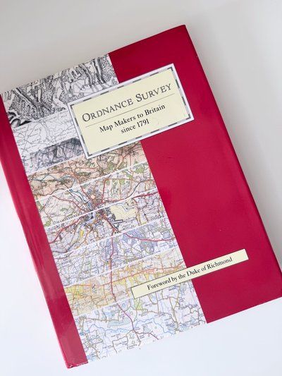
Ordnance Survey has contributed for over two centuries to British history, since its founding in 1791 under the military Board of Ordnance to provide mapping of south-east England in readiness for the threatened French invasion. Its current role is the production of mapping and map information for government, business and leisure needs.
This extensively illustrated history gives a vivid account of the early pioneering surveys of the British Isles and traces developments made both in surveying and in map production- from measurement with glass rods and steel chains to positioning by satellite methods, and from copper engraving and hand-colouring to digital mapping and laser printing. In many instances the material comes from the diaries and papers of individuals who took part - for this is also the story of the people and personalities involved in the growth of a great national institution.
One of the oldest Government Departments in Great Britain, Ordnance Survey has a worldwide reputation as the premier land surveying and mapping organisation. Now a Government Agency, it remains at the forefront of technological development and looks forward to meeting the challenges of the 21st century.
In a very good condition. Dustjacket is clean and intact, price has not been clipped. …